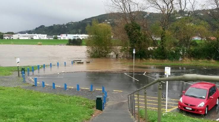
When Wellington received 70 millimetres of rain in an hour in a catastrophic flood that hit the city earlier this year, it became crystal clear more needs to be done to prepare cities for these events, which are only expected to increase as the climate continues to change.
This means urgently re-thinking the way water travels through New Zealand’s urban landscapes, especially above ground, to reduce the damage when future events like this happen.
“When you are dealing with things that affect the spatial nature of urban places and natural areas, then it becomes a land use planning issue as much as an engineering one, whether we are thinking about establishing new urban areas or working in existing ones,” says Mark Tamura, founder of resource consultancy, TamuraHill.
“We used to assume that to some extent, you can manage and control the flow of water in urban landscapes below ground, creating much more developable land. Now we are realising that we also need to make space for it above ground in blue-green networks. So we are seeing significant parts of some newly urbanised areas providing space in the landscape for the water to move.”
The landscape often determines how easy that is. For instance, cities like Hamilton have an extensive gully network that makes it easier to cater for water flow. Wellington’s topography also lends itself to above-ground water management. But better management and planning is required to avoid a re-run of this year’s floods.
Read more …https://nzwaterreview.partica.online/nz-water-review/vol-3-ed-2/flipbook/1/